Archive for the ‘Baguio’ Category
BAGUIO CITY
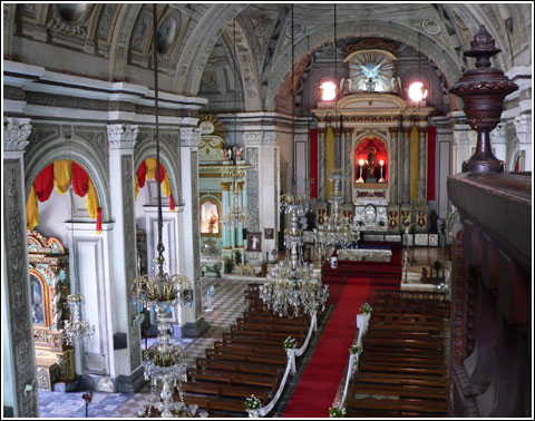
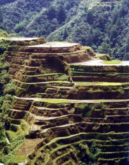
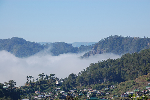 Photo from: lakbaypilipinas.com
“The City of Baguio is a highly urbanized city located in northern Luzon island in the Philippines. The city has become the center of business and commerce as well as the center of education in the entire Northern Luzon thereby becoming the seat of government of the Cordillera Administrative Region(C.A.R.).
Because of its altitude, Baguio City was designated by the Philippine Commission as the Summer Capital of the Philippines on June 1, 1903.”
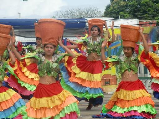
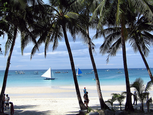
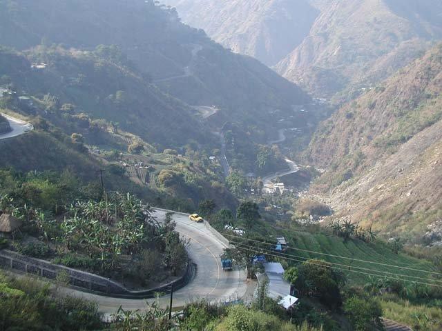 Photo from: travelphilippinestips.blogspot.com
Baguio City is located some 1,500 meters above sea level, nestled within the Cordillera Central mountain range in northern Luzon. The city is enclosed by the province of Benguet. It covers a small area of 57.5 square kilometers. Most of the developed part of the city is built on uneven, hilly terrain of the northern section. When Daniel Burnham plotted the plans for the city, he made the City Hall as a reference point where the city limits extend 8.2 kilometres (5.1 mi) from east to west and 7.2 kilometres (4.5 mi) from north to south. It is the highest major Philippine city in terms of elevation.
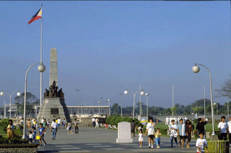
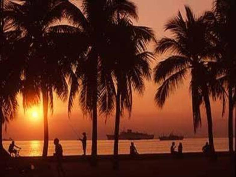
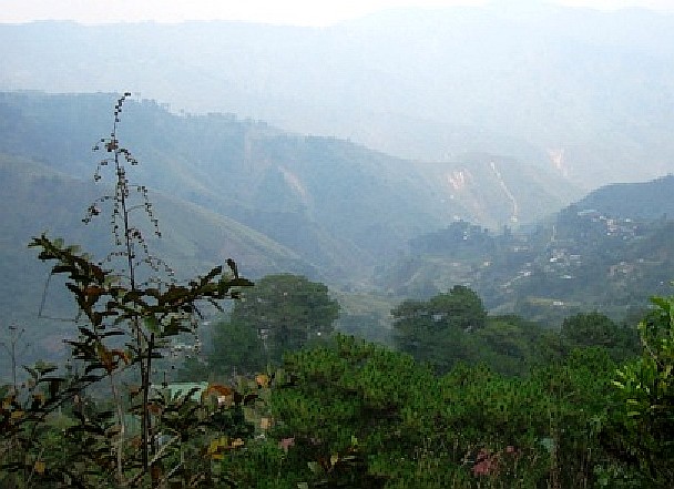 Photo from: philippinetraveler.com
Baguio City features a subtropical highland climate under the Koppen climate classification. The city is known for its mild climate. It is because of this that Baguio is nicknamed the “Summer Capital of the Philippines”. Owing to its high elevation, the temperature in the city is 8 degrees Celsius lower compared to the average temperature of the rest of the country.Average temperature ranges from 15 to 23 degrees Celsius. It is usually lower during the late and early months of the year. The lowest recorded temperature was 6.3 degrees Celsius on January 18, 1961. This is in contrast to the all-time high of 30.4 degrees Celsius recorded on March 15, 1988 during the 1988 El Niño season. Baguio seldom exceeds 26 degrees Celsius even during the warmest part of the year.
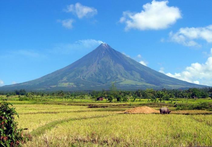
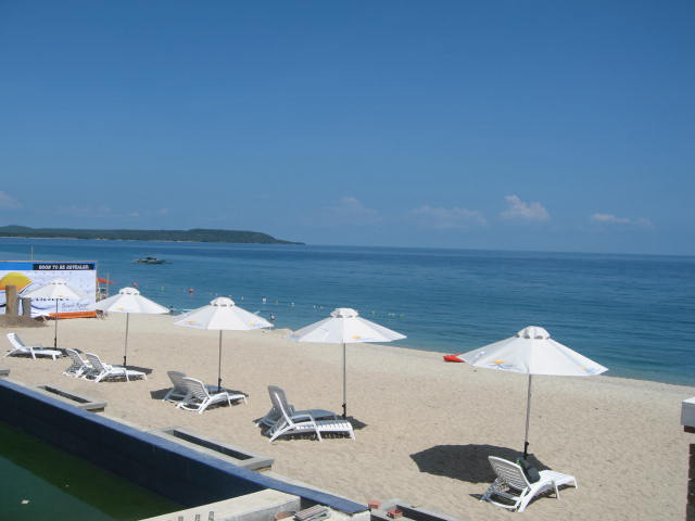
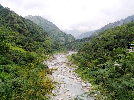 Photo from: photos.camperspoint.com
Like many other cities with a subtropical highland climate, Baguio sees noticeably less precipitation during its dry season. However, the city has an extraordinary amount of precipitation during the rainy season, with the months of July and August having on average more than 1,000 mm of rain. Baguio averages over 4500 mm of precipitation annually.
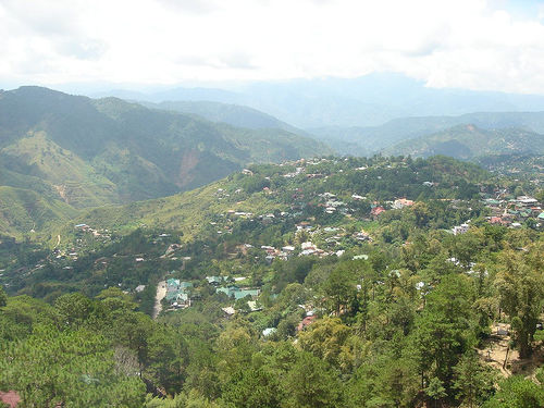 Photo from: missionviejo.olx.com
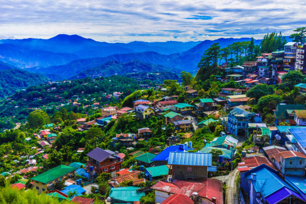 Photo from: https://www.wheninmanila.com/is-baguio-city-reopening-the-loakan-airport-to-commercial-flights/
Sources: wikipedia.org & gobaguio.com
Go To Part 1 – 2 – 3 – 4 – 5
TABLE OF CONTENTS
Cordillera Administrative Region (CAR)
Benguet Province – Salad Bowl of the Philippines
Natural Points of Interest In Benguet
Baguio – City of Pines, Summer Capital of the Philippines
Interesting Sites in Benguet Province
Other Visitors Also Viewed:
See the Candaba Bird Sanctuary in Pampanga Part 2
Swim in The “Amazingly Pink” Pink Beach of Northern Samar
The Cordillera Administrative Region (CAR)
Zero Km. Death March Marker in Bataan
Come and Enjoy at the Crescent-Shaped Anawangin Cove in Zambales
The Hundred Islands National Park in Pangasinan
Abra – Natural Dye Capital of the Philippines
Unravel the Secrets of Small But Mystical Siquijor
Pandanon – Awesome Island in Between Cebu and Bohol
