Archive for the ‘Bohol’ Category

Planning a trip? Those who love to travel know the essence of all travel is about you and your enjoyment. Travelers know that the destination is a major part in planning a trip, experiencing and delving deeper into an unfamiliar places, people and culture is paramount.
Expand your horizons and set your sight to the Philippines, an off the beaten path travel site! An undiscovered paradise made of thousands of islands and white sand beaches all around! A tiny dot in the map of the world, and yet a haven for travelers, backpackers, retirees and even passersby.
It offers awesome tourist attractions, magnificent beaches, hot spring resorts, colorful festivals, hundreds of scenic spots and world-class hotels and facilities. Not to mention the tropical climate, the affordable prices as well as the friendly and hospitable, English-speaking people! You will be glad you came, and we’re sure, you WILL come back for more FUN in the Philippines!
BOHOL
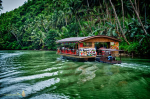 Photo from: https://swrphome.wordpress.com/2011/09/05/bohol-philippines/
There are four main rivers that run through Bohol, with the Loboc Rihttps://swrphome.wordpress.com/2011/09/05/bohol-philippines/ver running from the center of the island to the mid-southern coast. The largest river, the Inabanga, runs in the northwestern part of the province; the Abatan River runs in the southwest, and Ipil River in the north.
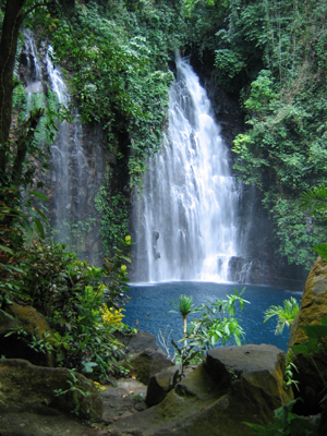
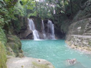 Photo from: http://boyetstour.blogspot.com/2012/12/mag-aso-falls-in-antequera.html#.WHKSElzIJpY
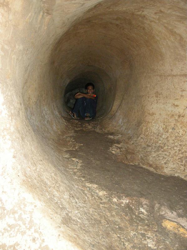
Numerous waterfalls and caves are scattered across the island, including Mag‑Aso Falls in Antequera. Mag‑Aso means smoke in the native tongue. The water is cool and often creates a mist in humid mornings which can hide the falls.
The Rajah Sikatuna Protected Landscape protects Bohol’s largest remaining lowland forest and can be found in the island’s southern portion near Bilar.
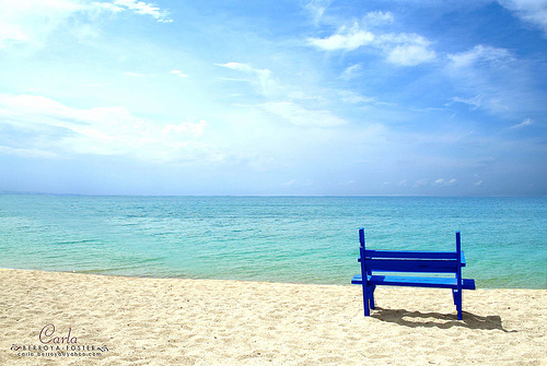
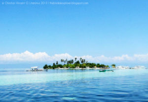 Photo from: http://thebisdakexplorer.blogspot.com/2013/05/world-of-photography-bohol-beaches.html
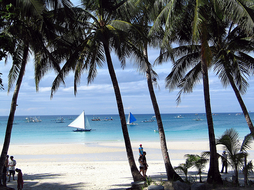
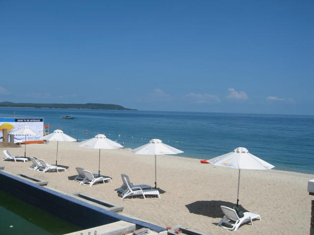
The main island is surrounded by about 70 smaller islands, the largest of which are Panglao Island, facing Tagbilaran, in the southwest and Lapinig Island in the northeast.
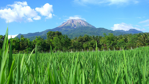
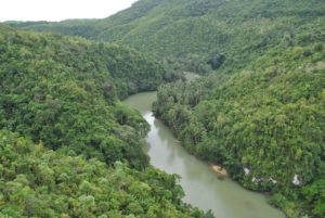 Photo from: https://nelsoncaparas.wordpress.com/tag/man-made-mahogany-forest-bohol/
The terrain of Bohol is basically rolling and hilly, and about half the island is covered in limestone. Near the outer areas of the island are low mountain ranges. The interior is a large plateau with irregular landforms.
Near Carmen, the Chocolate Hills are more than 1,200 uniformly cone-shaped limestone hills named for the grass growing on the hills that turns brown in the summer, making the landscape look like chocolate mounds. The Chocolate Hills appear on the provincial seal of Bohol.
Back to Previous Page
TABLE OF CONTENTS
Bohol – The Jewel of the Philippines
Directions on How to Get To and Around Bohol
Innumerable Interesting Tourist Spots in Bohol
Colorful and Amazing Festivals in Bohol
Fun and Enjoyable Activities in Bohol
