Archive for the ‘Eastern Samar’ Category
ENCHANTING EASTERN SAMAR
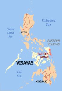 By Eugene Alvin Villar (seav) – English Wikipedia, CC BY-SA 3.0, https://commons.wikimedia.org/w/index.php?curid=626888
Eastern Samar is a province in the Philippines located in the Eastern Visayas region. Its capital is the city of Borongan. Eastern Samar occupies the eastern portion of the island of Samar. Bordering the province to the north is the province of Northern Samar and to the west is Samar province. To the east lies the Philippine Sea, part of the vast Pacific Ocean, while to the south lies the Leyte Gulf. Read More: https://en.wikipedia.org/wiki/Eastern_Samar
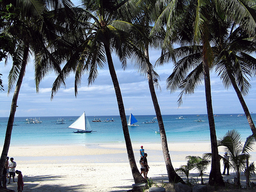
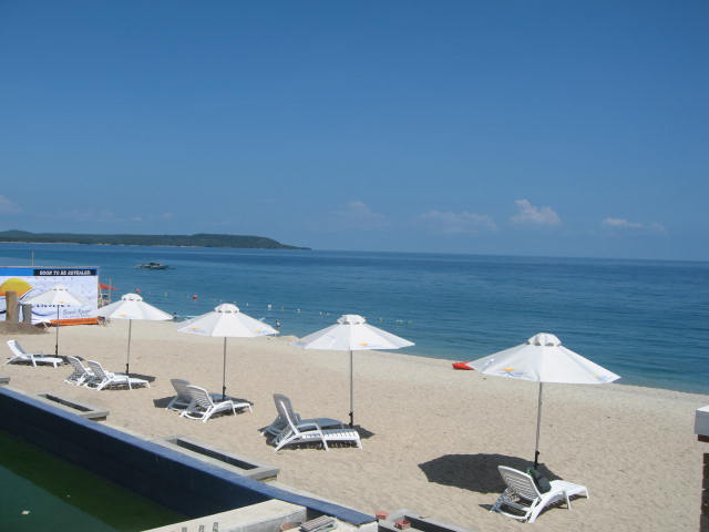
Eastern Samar is a province of the Philippines in Samar Island blessed with surreal tourist spots and promising eco-tourism destinations. Hidden in the forested lands of the province are its enchanting caves and majestic waterfalls. Furthermore, off the coasts of the province facing the Pacific Ocean are the beautiful islands with white sand beaches, rock formations and surrounding seas teeming with marine life.
The province of Eastern Samar is one of the 3 provinces in Samar Island which belongs to Eastern Visayas Region. It is bordered by the provinces of Nothern Samar (north), Philippine Sea & Pacific Ocean (east), Leyte Gulf (south) and Samar (west). The capital city of the province is Borongan. Over 460,000+ total residents of the province speaks in Waray-Waray, Cebuano, Filipino and English languages.
From weekend warriors, vacationers to adventure seekers, there are plenty of places to visit in Eastern Samar to choose from and even visit them all in a week or two. Read More: http://touristspotsfinder.com/2017/09/top-10-tourist-spots-in-eastern-samar/
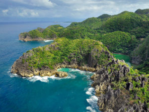 Photo from: http://philippinestravelsite.com/explore-borongan-eastern-samar/
Eastern Visayas is located on the eastern edge of the Visayas island chain, facing the Pacific Ocean. The islands of Samar, Leyte, and Biliran are the main land masses. It covers an area of 21,562.9 square kilometers (2.15 million hectares).
According to the regional office of the National Economic and Development Authority (NEDA), the region’s terrain is relatively flat near and along the coasts, with the mountainous areas mostly located in the middle portion of Samar and Leyte islands.
The southern and southwestern portions of Leyte are mountainous, while its northern portion is extensively flat. Samar, on the other hand, has a lot of mountainous ranges with forest and deep valleys.
Around 52.2% of the region is forest land. Read More: https://www.rappler.com/newsbreak/iq/43341-fact-file-eastern-visayas
Eastern Visayas, composed of islands and islets, boasts of several good beaches with crystal clear waters. Its rugged interiors also offers many beautiful waterfalls, which flows into natural or man-made pools below that are suitable for bathing or swimming.
During the summer months, these beaches and waterfalls are filled with people who are escaping from the sweltering heat of the sun. Read More: https://venewsblog.wordpress.com/tag/waterfalls/
TABLE OF CONTENTS
Eastern Samar is in Region VIII
Visiting Enchanting Eastern Samar is a MUST
Where is Eastern Samar and How to Get There
Top Tourist Destinations in Eastern Samar
Colorful Festivals in Eastern Samar
Have a Lot of Fun in Eastern Samar
Eastern Samar Video Collections
Other Visitors Also Viewed
Join the “Wet ‘n Wild” Regada Water Festival in Cavite
Pulacan Falls and Its Diverging Streams
Relax at the Secluded Hidden Valley Springs Resort in Laguna
Macahambus Cave in Cagayan de Oro
Amazing Beaches in Ajuy Iloilo
Bonbon Beach – Most Beautiful Beach in Romblon Island
Banga Festival Honors the Humble Clay Cooking Pot

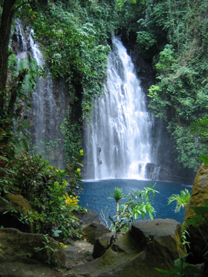
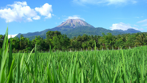
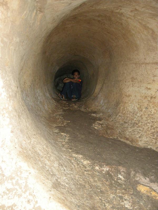
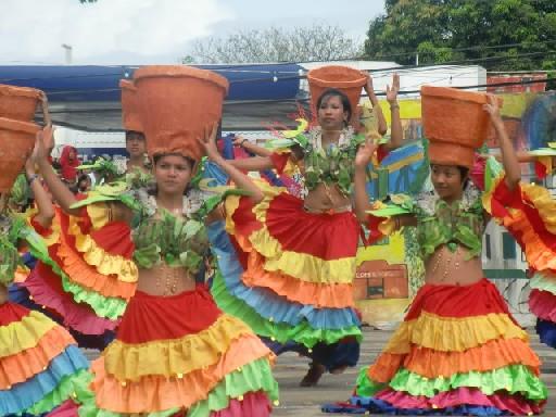


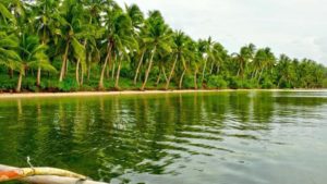 Photo from:
 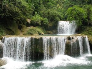 Photo from: