Posts Tagged ‘benguet province’
BENGUET PROVINCE
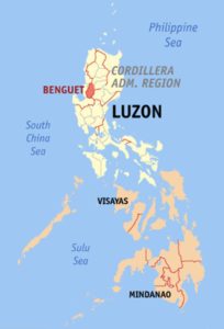 By Eugene Alvin Villar (seav) – English Wikipedia, CC BY-SA 3.0, https://commons.wikimedia.org/w/index.php?curid=244939
Benguet is a landlocked province of the Philippines in the Cordillera Administrative Region in Luzon.
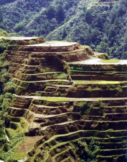
Benguet is a plateau. At 1,500 m above sea level, it has a rugged and sloping terrain, dotted with hot springs and cut by rivers that drain into many valleys. Mountains rise from the plateau. The second highest mountain in the Philippines at 2,930 m, Mt. Pulag, is here. The Halsema Mountain Highway traverses the province from south to north and includes the highest point (2,255 m) of all Philippine highways. Benguet possesses a pleasantly cool climate. Like the western half of Luzon, Benguet has wet and dry seasons of equal duration, but experiences heavy rainfall because of its elevation.
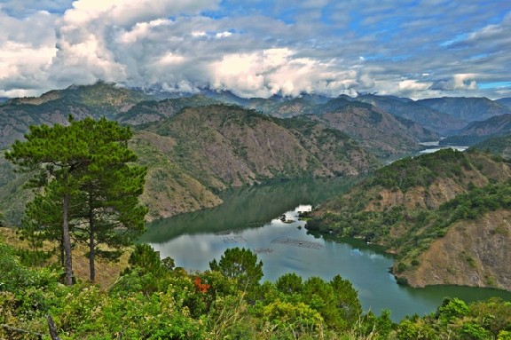 Photo from: trekearth.com
The land is mountainous and cut by deep river valleys. The province lies over 2,000 meters above sea level on the average. The elevation keeps temperatures cool and invigorating. The weather can be quite chilly when the Siberian winds blow in during December and January.
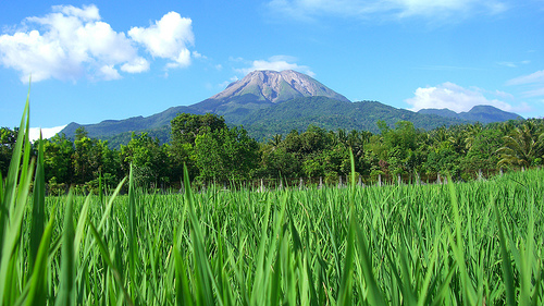
Forests cover about 75 percent of the land surface area, which totals 2,606 square kilometers. The remainder is cultivated with crops such as vegetables, fruits, coffee, rice and banana. Benguet is the major source of vegetables in the Philippines. Its wet season extends from June to October; the dry season from November to May.
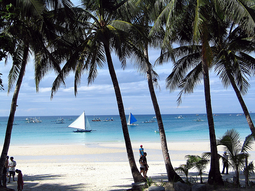
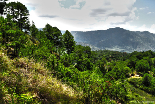 Photo from: dailypicster.com
Agriculture, mining, and tourism are the major industries in Benguet. Because of its temperate climate and high altitude, Benguet is an ideal place for producing vegetables. Benguet is often called the Salad Bowl of the Philippines. Major crops include potatoes, Baguio beans, peas, strawberries, cabbage, lettuce, and carrots. Other agricultural-related activities are monggo processing, fruit preservation, peanut brittle manufacturing, broom making, basket weaving, and flower growing. Apisang (scientific name: Pittosporum resiniferum), a plant endemic to the Philippines, is also being grown in Kapangan and Kibungan towns as a potential alternative source of fuel and energy, rivaling the overhyped Jatropha biofuel plant.
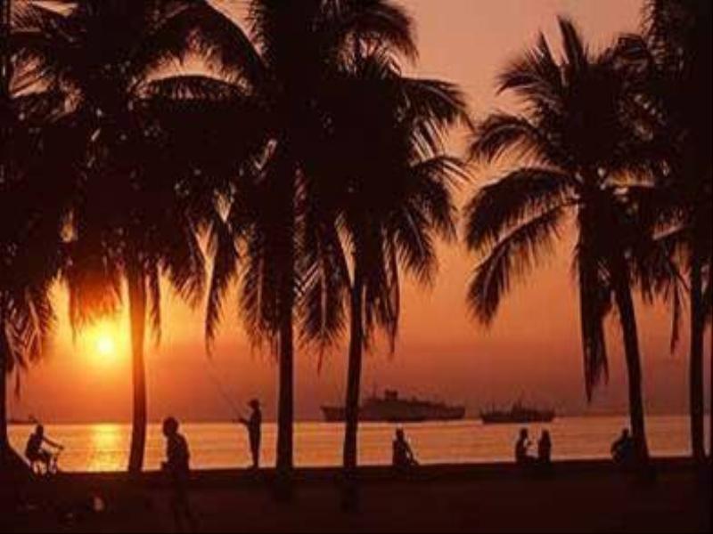
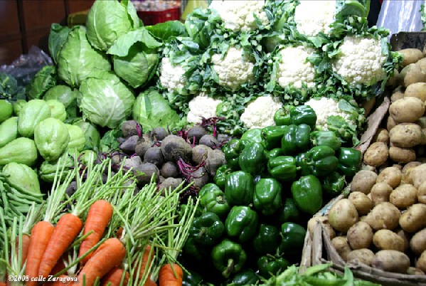 Photo from: gerryruiz.wordpress.com
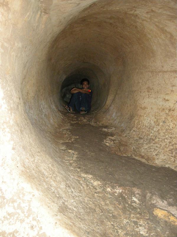
Mining is another major industry of Benguet, which is one of the country’s leading gold producers.
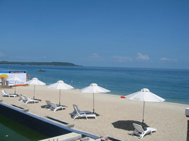
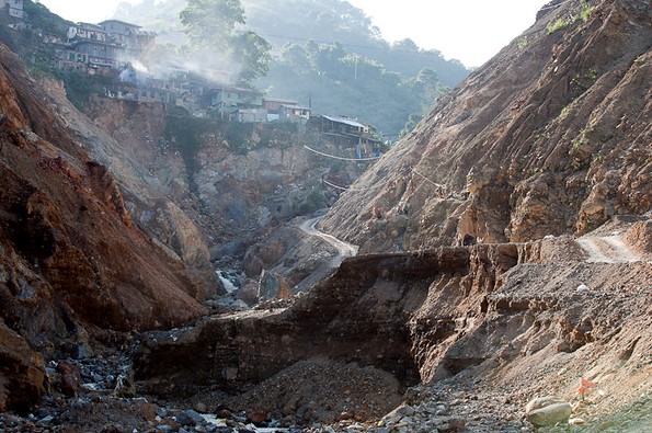 Photo from: kylehamilton.ca
Baguio City
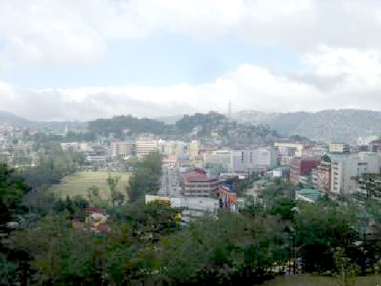 Photo from: blogs.oc.edu
The City of Baguio is a highly urbanized city located in the province of Benguet in northern Luzon island of the Philippines. The city has become the center of business and commerce as well as the center of education in the entire Northern Luzon thereby becoming the seat of government of the Cordillera Administrative Region(C.A.R.).
TABLE OF CONTENTS
Cordillera Administrative Region (CAR)
Benguet Province – Salad Bowl of the Philippines
Natural Points of Interest In Benguet
Interesting Sites in Benguet Province
Other Visitors Also Viewed:
Enjoy a Sparkling Swim at the Paradise Island Park and Beach Resort
Aguacan Cold Spring in Compostela Valley
Pandayan Festival – Showing Off Ilonggo’s Blacksmith Expertise
Solili Festival is the Celebration of the Day of Siquijor
Wonderful Beaches and Resorts in Bataan
Tongatoc Cove Offers a Breath-Taking View
Itbog Twin Falls Offer Double Fun and Enjoyment
Paadjao Falls – 15 Feet of Cascading Water for a Refreshing Enjoyment

