Posts Tagged ‘Gen. MacArthur’
Planning a trip? Those who love to travel know the essence of all travel is about you and your enjoyment. Travelers know that the destination is a major part of planning a trip, experiencing and delving deeper into unfamiliar places, people, and culture are paramount.
Expand your horizons and set your sight to the Philippines, an off the beaten path travel site! An undiscovered paradise made of thousands of islands and white sand beaches all around! A tiny dot in the map of the world, and yet a haven for travelers, backpackers, retirees and even passersby.
It offers awesome tourist attractions, magnificent beaches, hot spring resorts, colorful festivals, hundreds of scenic spots and world-class hotels and facilities. Not to mention the tropical climate, the affordable prices as well as the friendly and hospitable, English-speaking people! You will be glad you came, and we’re sure, you WILL come back for more FUN in the Philippines!
PROVINCE OF LEYTE
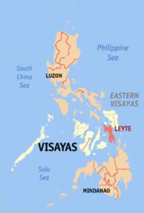 CC BY-SA 3.0, https://commons.wikimedia.org/w/index.php?curid=584855
Leyte is most famous for its role in the reconquest of the Philippines in World War II. On 20 October 1944, General Douglas MacArthur waded ashore on Leyte, saying, “I have returned”, but the Japanese did not give up so easily, as the ensuing Battle of Leyte proved. The convergence of naval forces resulted in the four-day Battle of Leyte Gulf, the largest naval battle in history.
The island measures about 180 kilometers (110 mi) north-south and about 65 kilometers (40 mi) at its widest point. In the north it nearly joins the island of Samar, separated by the San Juanico Strait, which becomes as narrow as 2 kilometers (1.2 mi) in some places. The island province of Biliran is also to the north of Leyte and is joined to Leyte island by a bridge across the narrow Biliran Strait. To the south, Leyte is separated from Mindanao by the Surigao Strait. To the east, Leyte is somewhat “set back” from the Philippine Sea of the Pacific Ocean, Samar to the northeast and the Dinagat Islands to the southeast forming the Leyte Gulf. To the west is the Camotes Sea.
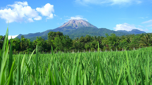
Leyte is mostly heavily forested and mountainous, but the Leyte Valley in the northeast has much agriculture. Read More: https://en.wikipedia.org/wiki/Leyte
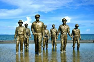 Photo from: http://www.traveltrilogy.com/2013/11/remembering-palo-leyte.html
The island of the Waray-waray, Leyte is located in the eastern part of the Visayas. It is very close to the province of Cebu and the Camotes. The capital city is Tacloban, which occupies a large part of the island. It speaks two languages, Waray-waray and Cebuano, due to its close proximity to the Queen City of the South.
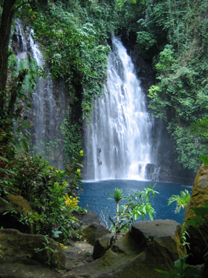
The way of life in Leyte is more on farming and fishing, and it is basically all about provincial living. You can find a lot of historical landmarks and scenic places around. There are also several places you can go to since Leyte is a large island with numerous towns and islets. Read More: http://tourism-philippines.com/leyte/
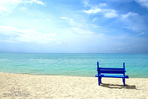
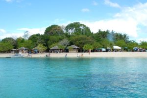 Photo from: https://bellastuffs.files.wordpress.com/2010/07/canigao-island.jpg
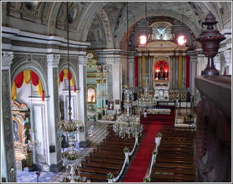
Situated in the beating heart of the Philippine archipelago is one of the nation’s most underrated travel destinations; Leyte-Ormoc. This island province shies away from heavy tourism, making it ideal for tourists looking to ‘get off the beaten track’. Nevertheless, the island does boast several interesting historical landmarks, and unveils plenty of scenic spots to explore too. Read More: http://travelauthenticphilippines.com/destinations/leyte-ormoc/
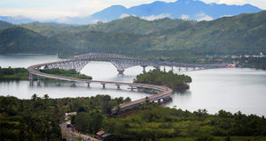 Photo from: http://www.leyteprovince.org/
TABLE OF CONTENTS
The Province of Leyte is in Region VIII
The Largest Naval Battle in History Took Place in Leyte
Popular Places to Visit in Leyte
Colorful Festivals to Watch in Leyte
Having a Fun Time in Leyte
Leyte Photo Gallery
Leyte Video Collection

