Posts Tagged ‘hiking in Batangas’
MT. MACULOT
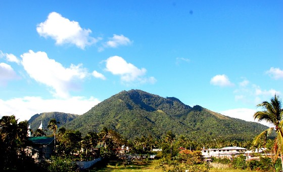 Photo from: sograceylicious.blogspot.com
Mt. Maculot is one of the most popular day trip destinations. It is so popular that on weekends and summer months, there is a sari-sari store, dubbed ‘7-11’ at the campsite. This mountain, at the heart of Batangas, is known as a landmark for locals and travelers alike; it is easily identifiable because of its abruptly terminating east side – forming a cliff that is challenging for rock climbers and breathtaking to everybody else. Others describe the shape of the mountain as ‘igloo-like’.
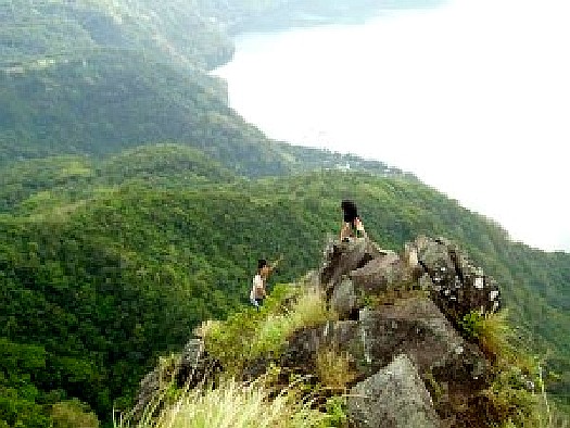 Photo from: wowbatangas.com
At 930 MASL, the mountain has three destinations: the famous Rockies (706m), the summit (930m) and the Grotto (510m). These can all be covered by a traverse day hike, but most climbers head to the Rockies, which is the reason why Maculot is the paragon of an easy hike. Only 5% of hikers pursue the traverse, but we hope more people will explore the “forested side” of the mountain.
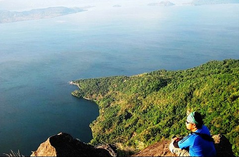 Photo from: philph01.blogspot.com
It is understandable, though, that the Rockies is Maculot’s most powerful draw. This rocky formation stands beside Taal Lake, creating a scenic view, encompassing the whole of Taal Lake including the world-famous Taal volcano; as well the plains of Batangas. From a distance looms, on opposite sides, Mt. Makiling and the Tagaytay Highlands. If you follow Batangas Bay to the South you can see Maricaban Island, and beyond that, Mindoro’s Mt. Halcon. The climbing time is variable; experienced climbers can reach the Rockies in less than an hour, but on a more relaxed pace, one could take up to two or three hours. Being a very popular trail, some entrepreneurial locals would sell drinks, like buko juice, at the rest stops along the trail, which is somewhat steep.
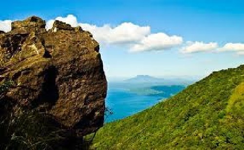 Photo from: juice.ph
Moreover, there is a big store, dubbed ‘7-11’ at the campsite which marks the end of the initial trail: this store offers everything from hard drinks to halo-halo and is open on weekends and peak season days during Holy Week etc. The campsite has space for 20 tents or more, but if you are a seeker of peace and quiet on a mountain on weekends, this is probably one of the worst places to camp in, being full of people, some of whom can get rowdy and noisy well into the night, talking and drinking. On weekdays, though, Maculot is very pleasant and quiet. Also, because of its popularity, Maculot has historically been dubbed one of the mountains with the dirtiest trails and campsites – a notoriety that has since been improved by clean-up climbs and an increasingly responsible hiking culture; nonetheless, garbage remains a big problem, and has diminished the beauty of the mountain.
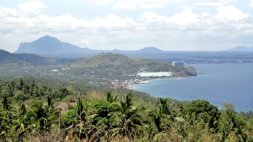 Photo from: panoramio.com
Arriving at the campsite coming from the jump off, there are two trails, the left one leads to the Rockies, five minutes away; the right one leads to the summit, which is visible and prominent the campsite. For adventure seekers wishing to maximize a day or two of hiking, Maculot has plenty to offer beyond the Rockies. From the campsite, one can continue to the peak (830 MASL) and the Grotto on the other side of the mountain.
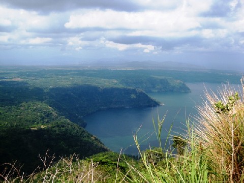 Photo from: dispatchmagonline.com
The trail to the summit, and past it, is mostly forested, and lends a different flavor from the usual Maculot trail. Some parts of the trail may be overgrown but is not difficult to follow through the long-established trail. It takes about an hour or so to reach the summit from the Rockies, and there, 930 MASL – the second highest point in Batangas – one can see the Rockies partially surrounded by the waters of Taal Lake; and Taal Volcano too visible and you can take a peek of the Crater Lake itself.
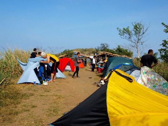 Photo from: frustratedsomething.com
From the very summit of Maculot, there are two trails: one that follows the trail of origin, and another than goes down right from the summit, which is also the right side of the summit, when you’re turning your back from the Rockies. Follow this trail, which gets quite steep (and there are some roped segments). The forest ends where the Grotto emerges, and from the Grotto, there are stations of the cross that follow you until you reach the end of the trail. The traverse, like the regular climb, is a relatively straightforward climb, and is doable for reasonably fit individuals.
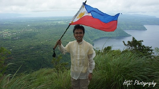 Photo from: hensonslaboratory.wordpress.com
Either way – as a traverse or as a regular climb – Mt. Maculot is a very nice climb, and its popularity is understandable. This is one of our highly recommended day hikes from Manila!
Source: pinoymountaineer.com
Watch the Videos:
TABLE OF CONTENTS
Batangas is Part of CALABARZON (Region IV-A)
Don’t Miss Visiting the Amazing Batangas Province
Magnificent Beaches and Dive Sites in Batangas!
Colorful Festivals in Batangas
Other Interesting Spots in Batangas
Other Visitors Also Viewed:
Handuraw Festival – Remembering History
Tultugan Festival – Bamboo Dance and Music
Culapnitan Cave Displays Magnificent Stalactite Formations
Gota Beach – Setting of Reality TV “Survivor” Series
Napantao Marine Sanctuary – Great for diving, snorkeling, and many more!
The Miraculous Statue of Virgin Mary at the Joroan Church
Rosquillos Festival – Celebrates Delicious Rosquillos Cookies
Silmugi Festival is Celebrated by Street Dancing

