Posts Tagged ‘tourist attraction’
Planning a trip? Those who love to travel know the essence of all travel is about you and your enjoyment. Travelers know that the destination is a major part in planning a trip, experiencing and delving deeper into an unfamiliar place, people and culture is paramount. Expand your horizons and set your sight to the Philippines, an off the beaten path travel site! An undiscovered paradise made of thousands of islands and white sand beaches all around! A tiny dot in the map of the world, and yet a haven for travelers, backpackers, retirees and even passersby. It offers awesome tourist attractions, magnificent beaches, hot spring resorts, colorful festivals, hundreds of scenic spots and world-class hotels and facilities. Not to mention the tropical climate, the affordable prices as well as the friendly and hospitable, English-speaking people! You will be glad you came, and we’re sure, you WILL come back for more FUN in the Philippines!
SAMAR ISLAND PARADISE
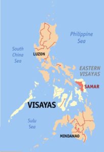
Photo from: https://en.wikipedia.org/wiki/Samar_%28province%29
Samar is divided into three parts – Northern Samar, Western Samar and Eastern Samar. For purposes of clarity, Western Samar is simply referred to or called SAMAR.
Samar is an island in the Visayas, within central Philippines and the third largest island in the country.The island is divided into three provinces: Samar province (the western two-fifths of the island of Samar), Northern Samar province, and Eastern Samar province.
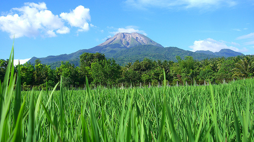
Samar province is hilly, with mountain peaks ranging from 200 to 800 meters (660 to 2,620 ft) high and narrow strips of lowlands, which tend to lie in coastal peripheries or in the alluvial plains and deltas accompanying large rivers. The largest lowlands are located along the northern coast extending up to the valleys of Catubig and Catarman rivers. Smaller lowlands in Samar are to be found in the Calbayog area and on the deltas and small valleys of Gandara and Ulot rivers. Slopes are generally steep and barren of trees due to deforestation. Run-off waters after heavy rains can provoke flooding in low-lying areas and the erosion of the mountains enlarges the coastal plains of the province.
Areas near the eastern coast of the province have no dry season (with a pronounced maximum rain period usually occurring from December to January), and are thus open to the northeast monsoon. Municipalities in the southeastern section of the province experience this type of climate.
Areas located in the northwestern portion of the province have a more or less evenly distributed rainfall throughout the year. – Read More: https://en.wikipedia.org/wiki/Samar_%28province%29
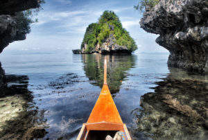 Photo from: https://pomacious.wordpress.com/2012/08/21/raw/
The province of Samar, occupying the southwestern part of Samar Island, is a rugged land with bountiful waters on the west and low mountain ranges on the east. Caught between mountain and sea, Samar is no stranger to rain, which it experiences in varying degrees for the most part of the year.
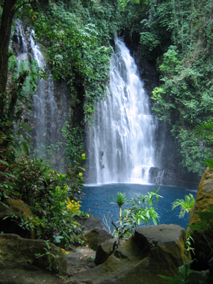
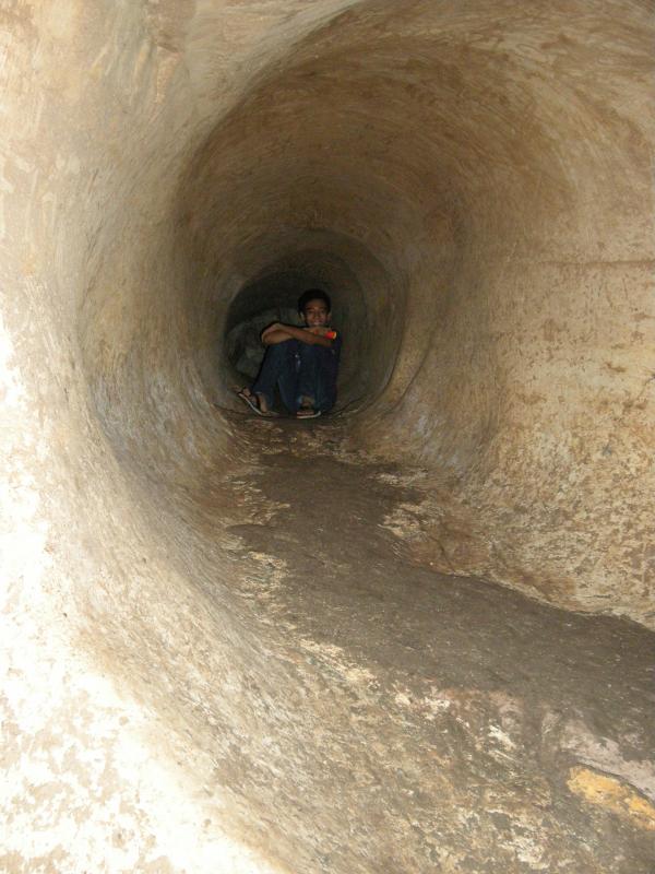
Samar is blessed with a lush rainforest harboring tropical flora and fauna, crossed by multiple navigable rivers, pocked by mysterious caverns and refreshing waterfalls. A tourist wanting something out of the ordinary may experience all these wonders of nature and still only be a few hours from civilization.
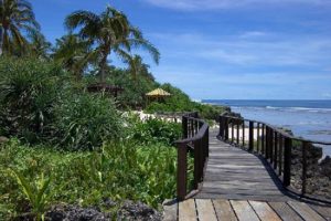 Photo from: www.tripadvisor.com
The favored route to this part of the island is through the 2.16 kilometer long San Juanico Bridge from Leyte Island following a plane trip via Manila-Tacloban. From the south or west, Calbayog City and its capital town of Catbalogan are accessible both by plane and sea, with the Pan Philippine Highway connecting the coastal towns.
The province occupies a total land area of 1,342,863 hectares. It is bounded on the north by Northern Samar, on the east by Eastern Samar, on the west by the Samar Sea, and on the south by the Leyte Gulf.The physical environment of Samar includes almost every kind of topography: mountains, forests, rivers, lakes, plains, coasts, and islands. It has a much lower highland system compared to other provinces. The central upland core is formed from a broad plateau with local relief sight ranging from 700 to 1,000 feet. Numerous streams in the island have cut sharp valleys on the surface of this plateau and the overall landscape is hilly and rugged. Read More: http://www.tourism.gov.ph/SitePages/InteractiveSitesPage.aspx?siteID=47
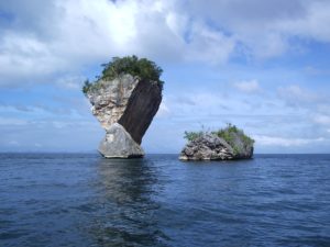
Photo from: http://www.zamboanga.com/z/index.php?title=File:Maribut_Samar_island_Rock_formation.jpg
TABLE OF CONTENTS
The Tropical Island Paradise Called Samar
Where is Samar and How to Get There
Popular Tourist Destinations in Samar
Come and Join the Merry Festivals in Samar

